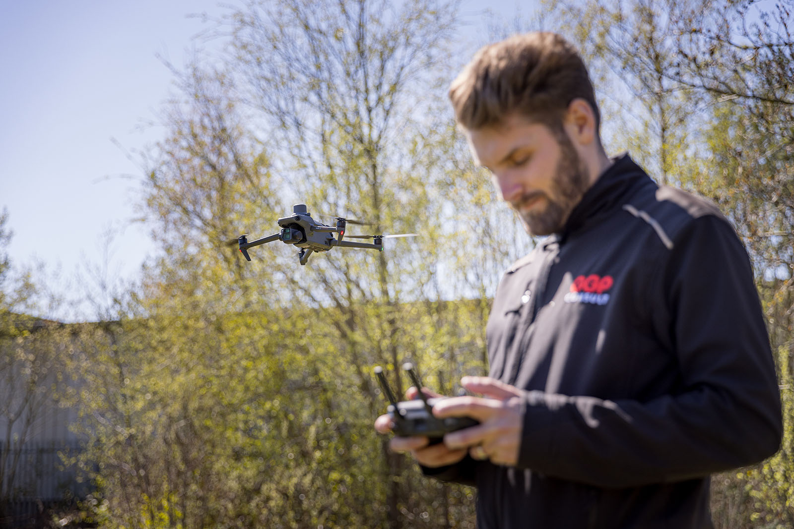
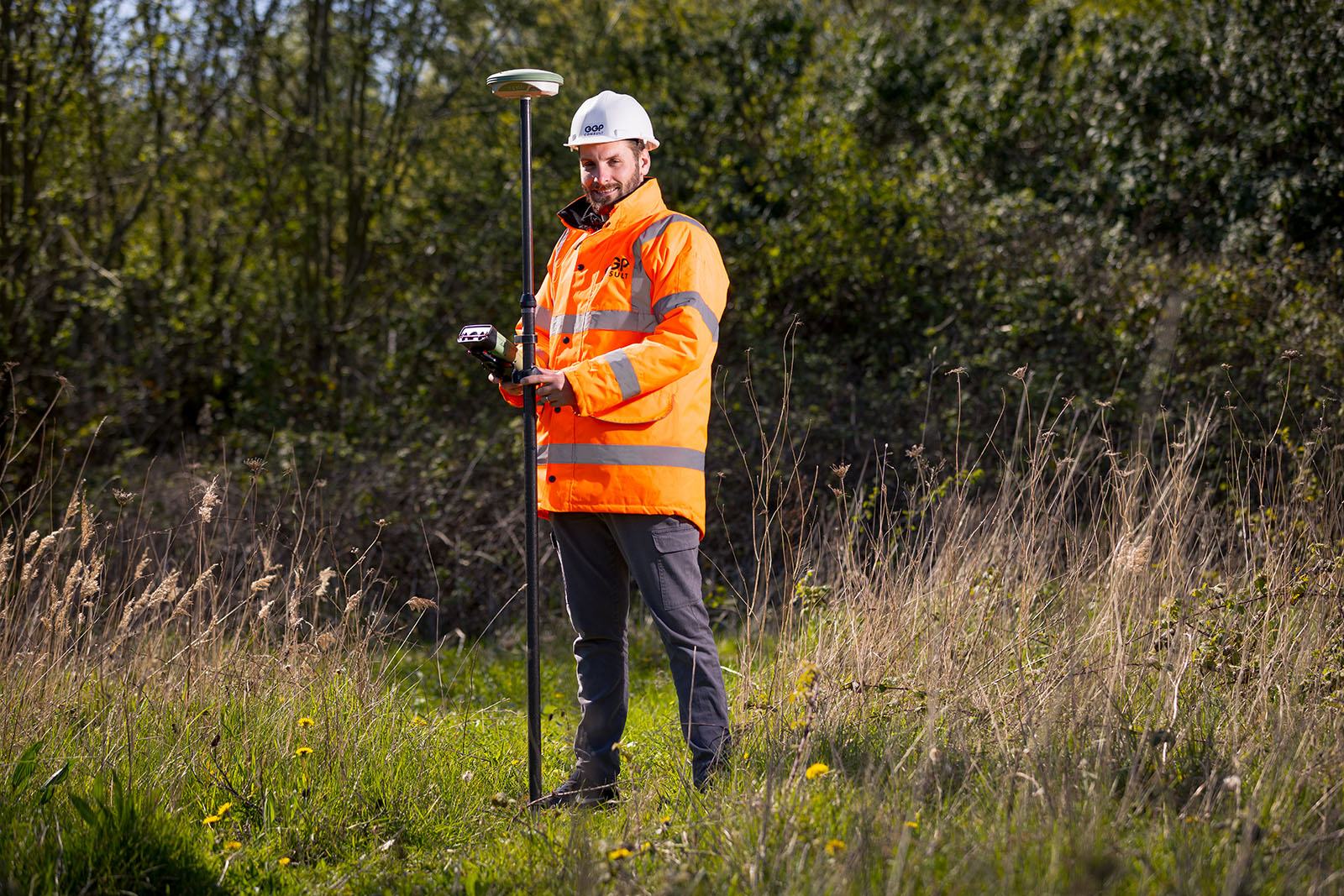
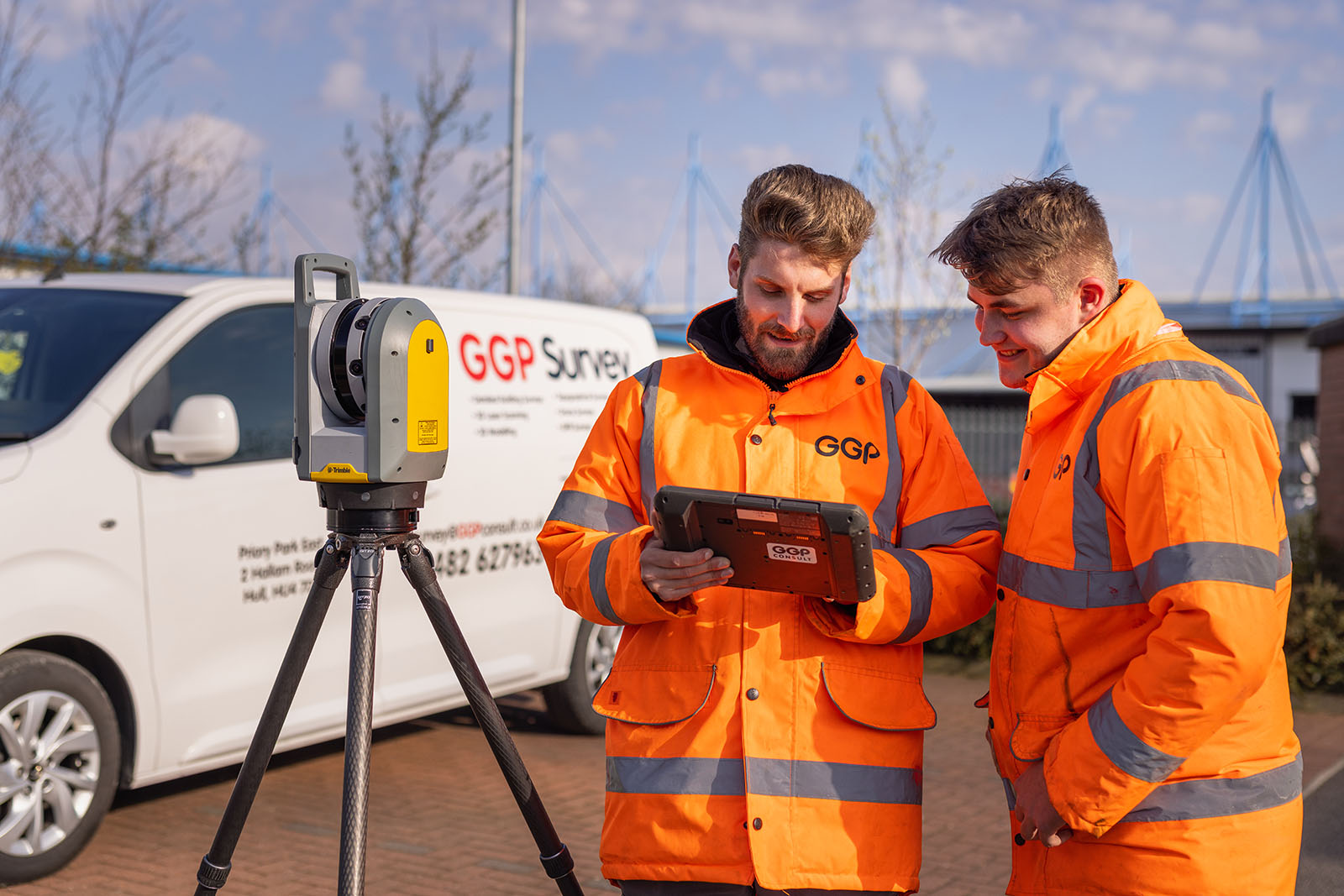
Site Surveyors

GGP Survey are part of GGP Consult Ltd and offer a variety of surveying services. With over 25 years of experience, our highly qualified and experienced surveyors provide our clients with the professional, cost-effective services they need to complete their projects.

Introducing GGP Survey

Our expertise in surveying and 3D scanning is proven with our flexible and expert approach to everything that we do. This is just another reason for customers to select GGP Survey as their preferred supplier.

The creation of GGP Survey further expands the services we offer to our valued clients, with added control and professionalism brought to all works.

Our Expertise:

  • 3D scanning
  • Drone surveys / inspections
  • GPR surveys
  • Mesh analysis and volumetrics
  • Night survey work
  • Asset management
  • Building information modelling (BIM)
  • Traditional topographical surveys
  • Archaeological recording
  • Remote structural monitoring
  • Assessment of movement and erosion

3D Scanning

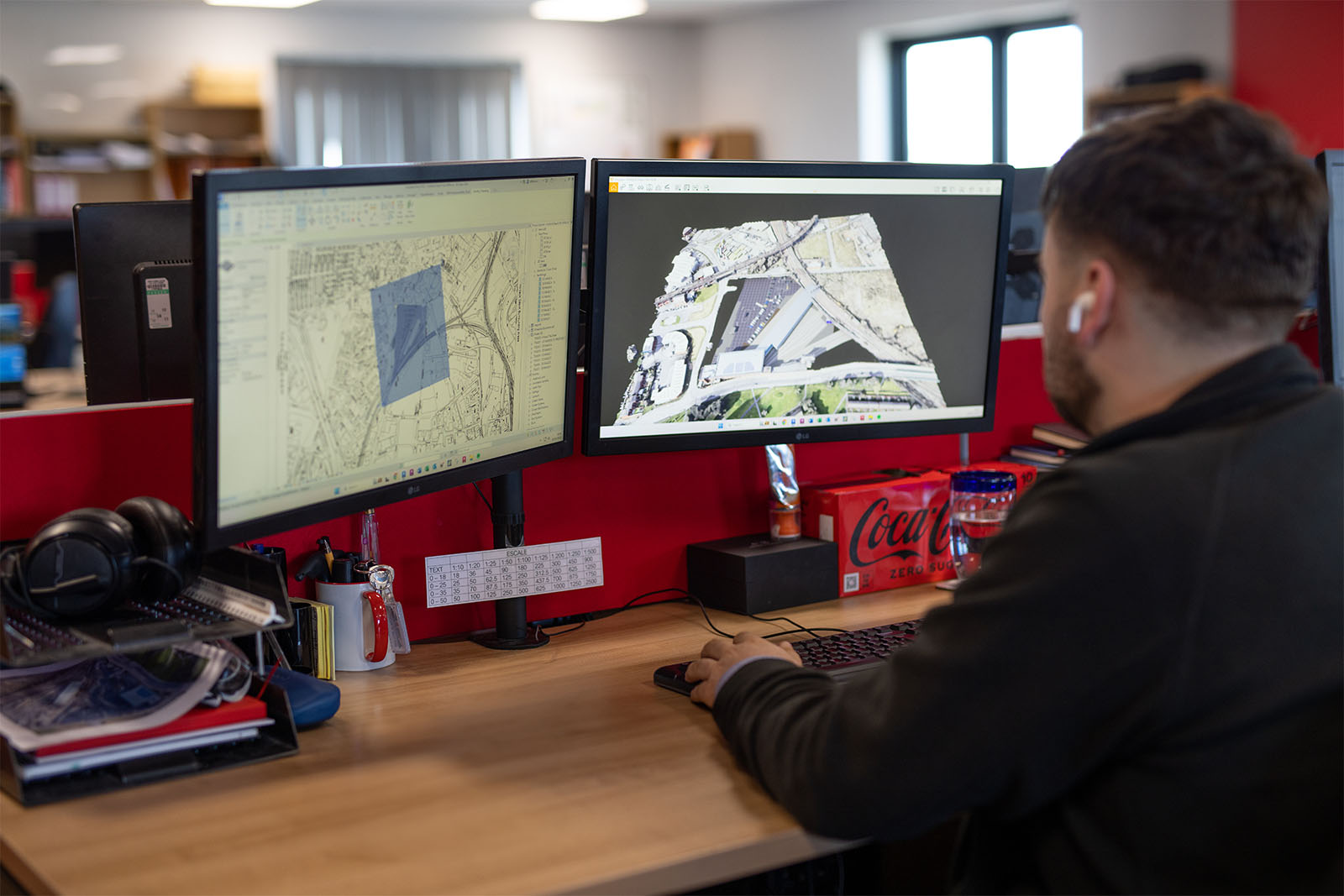
Our expert survey team uses the latest Trimble & Faro-series equipment to combine point-cloud laser scanning with high-resolution digital photography. From this, we can deliver all forms of measured building surveys, creating outputs that range from basic floor plans to highly detailed Revit models. All data is made available to the client in cloud based and standalone USB3 hard drive delivery formats. As well as this, the data can be hosted and made available to the clients to work with a free web link that can be used on any smart phone to view - all whilst on the move.

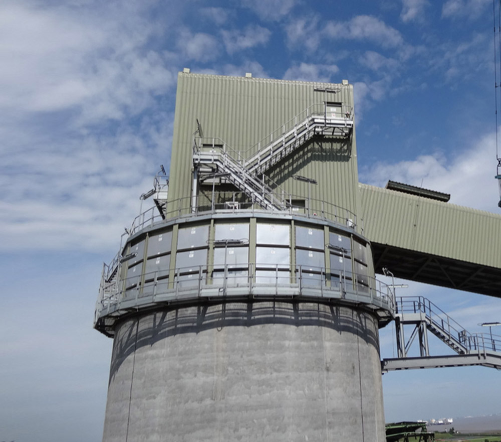
3D laser scans are frequently used to acquire data before the start of an engineering or building project - when it is important to know, down to the mm level, what the actual situation is. 3D Laser scanning offers a quick and efficient solution to this problem. The data can be used in almost any engineering or design package (Autocad, Revit, Recap, MicroStation and ProjectWise etc).

Key benefits to our clients and project teams are extensive as this process is non-contact and non-destructive, extremely accurate, and also very fast - the surveys are undertaken with minimal disruption to the users of occupied buildings and are excellent where there are reduced accessibility issues or hazardous environments.

Drone Inspections / Surveying

The GGP Survey team are A2 CofC & GVC licensed and provide professional and effective aerial work solutions, whether that be providing a new perspective for your business or home (from an aerial photograph or video) or using our unmanned aerial system to inspect structures - we have a solution to meet your needs.

GGP Survey provides a cost efficient and simple solution to filming and photography from the air.

Drones can conduct topographic surveys with the same accuracy as traditional methods but in a fraction of the time and cost. Here are just a few of the benefits of using drone surveying workflows on earthworks projects:

  • Reduce field time and project costs
  • Provide accurate data
  • Map hard-to-reach places
  • Track progress over time

Drone surveying is a multifaceted tool on the worksite - from the data collected during flight, contractors can not only map and measure their site, but also improve collaboration across stakeholders, enabling them to deliver meaningful reports and to make better, faster decisions as a company. Here are a few specific ways that contractors can leverage drone surveying:

  • Takeoff reporting
  • Precision measurements
  • Worksite safety
  • Dispute resolution

Topographical surveying

GGP Survey also offers topographical surveys - these are an accurate depiction of a site (property, area of land, defined boundary etc) which is scaled and detailed to show all the natural and man-made features and their levels. A topographical survey is highly detailed and requires the involvement of topographic survey professionals to ensure the accuracy and level of detail of the reports provided.

GGP Survey can advise on a range of topographic survey, topological survey and land survey matters, including:

  • the best survey option for your site
  • typical topographic survey costs
  • key questions about how the survey works

When it comes to booking a specialist topographic survey, you will want to have full confidence in the expertise of your chosen contractor. We will gladly answer your questions on matters relating to topographical surveys so that you have a full idea of what is involved in the process.

The GGP Survey team undertakes topographic surveys to gather spatial information relating to the site and its natural and man-made land features. This can often be related to the National Ordnance Survey Grid and datum information (often using GPS) and is surveyed by point. GGP Survey can also add additional information that can often be integrated into topographical surveys which assists a design team in taking account of the necessary and relevant site constraints.

This can include:

  • Site sections through particularly diverse gradient transects
  • Spot heights of surrounding land and site features, i.e. neighbouring properties to assess overlooking
  • Underground utility information (from radar tracing and integrating utility records data)
  • Trees, bushes and vegetation positions
  • Water channels (such as brooks, streams, ponds and lakes)
  • Ground heights, contours and surfaces
  • Drainage features
  • Water levels
  • Features adjacent to the site

Market Sectors

Get in touch

user@ggpconsult.co.uk 01482 627963 01904 217600
GGP Consult logo GGP Geo logo

Make an enquiry